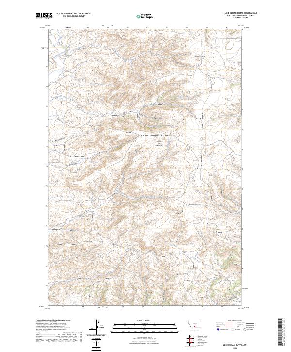
2024 Map of Lone Indian Butte
USGS Topo · Published 2024About this map
Lone Indian Butte dominates the northern terrain of this Sweet Grass County landscape, where the high plains meet complex drainage systems. The map reveals an intricate network of waterways including the prominent Sweet Grass Creek and Sams Creek, alongside the human-engineered Boggs Ditch, indicating the importance of water management in this arid Montana region. The topography transitions from the elevated Choo-heh-meen Hills down into Shanks Basin to the south.
Find a feature on this map
21 named features on this map. Tap any name to fly to it.
Don’t see what you’re looking for? This feature index may not catch every label — zoom into the map to look around manually.
Map Details
Editions of this 2024 Lone Indian Butte Map
This is the sole edition of this map. No revisions or reprints were ever made.
Other maps of this area

1891 · Big Timber
USGS Topo · 1:125,000

1893 · Big Timber
USGS Topo · 1:125,000
1954 · Ryan Creek
USGS Topo · 1:24,000

1954 · Billings
USGS Topo · 1:250,000

1955 · Packsaddle Butte
USGS Topo · 1:24,000

1955 · Reed Point
USGS Topo · 1:24,000

1955 · Greycliff
USGS Topo · 1:24,000

1955 · Stephens Hill
USGS Topo · 1:24,000
1956 · Work Creek
USGS Topo · 1:24,000

1957 · Billings
USGS Topo · 1:250,000