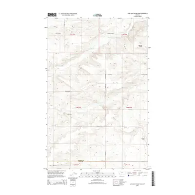
2014 Map of Lone Man Coulee East
USGS Topo · Published 2014About this map
Dry Fork Marias River meanders across this northern Montana landscape, carving a network of drainages that define the local topography. This 2014 survey captures the transitional zone where Teton County meets Pondera County, marked clearly by the Pondera Co Teton Co boundary line. The terrain is characterized by dramatic elevation changes and geological landmarks, most notably the prominent Castle Rock rising above the surrounding coulees.
Find a feature on this map
22 named features on this map. Tap any name to fly to it.
Don’t see what you’re looking for? This feature index may not catch every label — zoom into the map to look around manually.
Map Details
Editions of this 2014 Lone Man Coulee East Map
This is the sole edition of this map. No revisions or reprints were ever made.
Other maps of this area

1920 · Dupuyer
USGS Topo · 1:125,000

1934 · Lake Frances
USGS Topo · 1:48,000

1934 · Valier
USGS Topo · 1:62,500

1936 · Pendroy
USGS Topo · 1:48,000

1937 · Valier
USGS Topo · 1:62,500

1937 · Lake Frances
USGS Topo · 1:62,500

1938 · Gallup City
USGS Topo · 1:62,500

1941 · Pendroy
USGS Topo · 1:62,500

1942 · Gallup City
USGS Topo · 1:62,500

1960 · Cut Bank
USGS Topo · 1:250,000