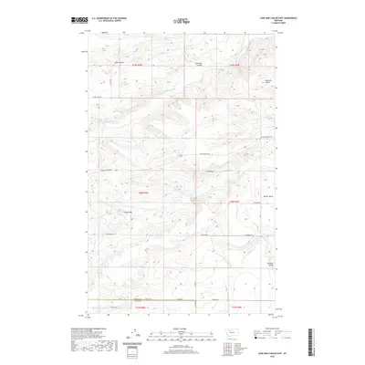
2020 Map of Lone Man Coulee East
USGS Topo · Published 2020About this map
The Dry Fork Marias River winds through the high plains of the Teton and Pondera county border, defining a landscape of deep coulees and expansive benches. This modern survey illustrates how traditional ranching and transportation routes continue to follow the natural contours of the Montana front. Named drainage features like Miller Coulee, Lone Man Coulee, and Haatvedt Coulee dominate the northern terrain, while the prominent Castle Rock serves as a distinct geological landmark in the central section. The southern portion of the map is defined by the Benton Bench and the descent into Pondera Coulee. A network of gravel and section-line roads, including Coalmine Rd and Conrad Dupuyer Rd, connects these remote reaches, reflecting the enduring grid-based settlement patterns and land use of the Big Sky Country.
Find a feature on this map
24 named features on this map. Tap any name to fly to it.
Don’t see what you’re looking for? This feature index may not catch every label — zoom into the map to look around manually.
Map Details
Editions of this 2020 Lone Man Coulee East Map
This is the sole edition of this map. No revisions or reprints were ever made.
Other maps of this area

1920 · Dupuyer
USGS Topo · 1:125,000

1934 · Lake Frances
USGS Topo · 1:48,000

1934 · Valier
USGS Topo · 1:62,500

1936 · Pendroy
USGS Topo · 1:48,000

1937 · Valier
USGS Topo · 1:62,500

1937 · Lake Frances
USGS Topo · 1:62,500

1938 · Gallup City
USGS Topo · 1:62,500

1941 · Pendroy
USGS Topo · 1:62,500

1942 · Gallup City
USGS Topo · 1:62,500

1960 · Cut Bank
USGS Topo · 1:250,000