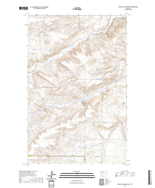
2024 Map of Lone Man Coulee East
USGS Topo · Published 2024About this map
The Dry Fork Marias River meanders across this landscape of the High Plains, carving a network of drainages that define the local geography. The map reveals a transition from the elevated Benton Bench to the deeper cuts of Lone Man Coulee and Miller Coulee. This area at the border of Pondera and Teton counties is organized by a precise grid of section lines and gravel routes, including Conrad Dupuyer Rd and Coalmine Rd. The naming of features like Haatvedt Coulee and Sam George Rd points to the legacy of early ranching and homesteading families in this section of north-central Montana. The landscape is primarily defined by its drainage basins, such as the Pondera Coulee in the south, reflecting the importance of water management in this arid agricultural region.
Find a feature on this map
22 named features on this map. Tap any name to fly to it.
Don’t see what you’re looking for? This feature index may not catch every label — zoom into the map to look around manually.
Map Details
Editions of this 2024 Lone Man Coulee East Map
This is the sole edition of this map. No revisions or reprints were ever made.
Other maps of this area

1920 · Dupuyer
USGS Topo · 1:125,000

1934 · Lake Frances
USGS Topo · 1:48,000

1934 · Valier
USGS Topo · 1:62,500

1936 · Pendroy
USGS Topo · 1:48,000

1937 · Valier
USGS Topo · 1:62,500

1937 · Lake Frances
USGS Topo · 1:62,500

1938 · Gallup City
USGS Topo · 1:62,500

1941 · Pendroy
USGS Topo · 1:62,500

1942 · Gallup City
USGS Topo · 1:62,500

1960 · Cut Bank
USGS Topo · 1:250,000