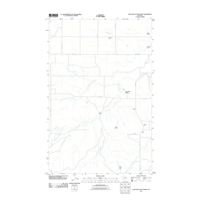
2011 Map of Lone Man Coulee West
USGS Topo · Published 2011About this map
New Miami Colony sits as a central communal settlement within this high plains landscape of Pondera County, where the drainage of the Dry Fork Marias River and its various forks create a complex hydraulic network. The area’s ranching and agricultural foundation is evidenced by the presence of the Armstrong Ranch and Hall Ranch, while the surrounding terrain is marked by distinct features such as Black Buttes and the namesake Lone Man Coulee. Water management is a primary theme of the landscape, illustrated by the Widower Dam, Oak Ridge Dam, and the D Canal. Industrial activity is also present on the eastern edge of the quadrangle, where several mining sites including the Hubbard Mine, Kellogg Mine, and Oertel Mine are located near Division S.
Find a feature on this map
25 named features on this map. Tap any name to fly to it.
Don’t see what you’re looking for? This feature index may not catch every label — zoom into the map to look around manually.
Map Details
Editions of this 2011 Lone Man Coulee West Map
This is the sole edition of this map. No revisions or reprints were ever made.
Other maps of this area

1920 · Dupuyer
USGS Topo · 1:125,000

1934 · Lake Frances
USGS Topo · 1:48,000

1934 · Valier
USGS Topo · 1:62,500

1936 · Pendroy
USGS Topo · 1:48,000

1937 · Valier
USGS Topo · 1:62,500

1937 · Lake Frances
USGS Topo · 1:62,500

1938 · Gallup City
USGS Topo · 1:62,500

1941 · Pendroy
USGS Topo · 1:62,500

1942 · Gallup City
USGS Topo · 1:62,500

1960 · Cut Bank
USGS Topo · 1:250,000