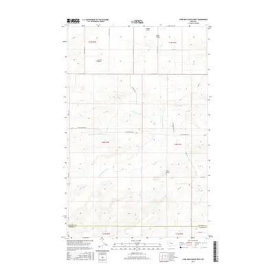
2017 Map of Lone Man Coulee West
USGS Topo · Published 2017About this map
The Dry Fork Marias River and its northern tributary, the N Fork Dry Fork Marias River, carve a complex drainage system across this Montana landscape. The terrain is defined by prominent elevations such as Frances Heights and Black Buttes, while numerous coulees, including Lone Man Coulee and Miller Coulee, indicate the erosive power of seasonal runoff in this semi-arid environment. The road network reflects a remote agricultural and ranching layout, with long stretches like Conrad Dupuyer Rd and Skyview Rd N connecting disparate parcels. A notable cultural feature is New Miami Colony Ln, signifying the localized presence of communal farming settlements in the region. The map also captures the boundary between Pondera and Teton Counties, where land use transitions near features like Coalmine Rd and the aptly named Sagebrush road.
Find a feature on this map
27 named features on this map. Tap any name to fly to it.
Don’t see what you’re looking for? This feature index may not catch every label — zoom into the map to look around manually.
Map Details
Editions of this 2017 Lone Man Coulee West Map
This is the sole edition of this map. No revisions or reprints were ever made.
Other maps of this area

1920 · Dupuyer
USGS Topo · 1:125,000

1934 · Lake Frances
USGS Topo · 1:48,000

1934 · Valier
USGS Topo · 1:62,500

1936 · Pendroy
USGS Topo · 1:48,000

1937 · Valier
USGS Topo · 1:62,500

1937 · Lake Frances
USGS Topo · 1:62,500

1938 · Gallup City
USGS Topo · 1:62,500

1941 · Pendroy
USGS Topo · 1:62,500

1942 · Gallup City
USGS Topo · 1:62,500

1960 · Cut Bank
USGS Topo · 1:250,000