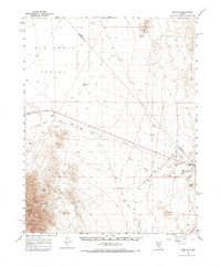
1961 Map of Lone Mtn
USGS Topo · Published 1969About this map
Big Smoky Valley dominates this 1961 survey, revealing a landscape defined by industrial residue and remote desert outposts at the border of Nye and Esmeralda counties. The map captures the significant footprint of mining operations, evidenced by extensive Tailings deposits and a Tailings Pond near the Lambertucci Airstrip. This infrastructure hints at the processing and logistical hubs required for the region's mineral wealth.
Find a feature on this map
20 named features on this map. Tap any name to fly to it.
Don’t see what you’re looking for? This feature index may not catch every label — zoom into the map to look around manually.
Map Details
Editions of this 1961 Lone Mtn Map
2 editions found

Other maps of this area

1898 · Silver Peak
USGS Topo · 1:125,000

1900 · Silver Peak
USGS Topo · 1:125,000

1907 · Tonopah
USGS Topo · 1:250,000

1908 · Lida
USGS Topo · 1:250,000

1908 · Tonopah
USGS Topo · 1:250,000

1913 · Lida
USGS Topo · 1:250,000

1945 · Goldfield
USGS Topo · 1:125,000

1952 · Mud Lake
USGS Topo · 1:62,500

1954 · Goldfield
USGS Topo · 1:250,000

1955 · Goldfield
USGS Topo · 1:250,000