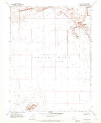
1969 Map of Lone Rock
USGS Topo · Published 1972About this map
Carson Sink (Depression) dominates this desert landscape, characterized by its wide Alkali Flat and shifting Sand Dunes. The survey, field-checked in 1969, reveals a stark terrain where natural geographic features meet mid-century military utility. In the southern reaches of the quadrangle, a prominent Navy Bombing Target Area is established, centered around the distinctive landmark of Lone Rock. This area is accessed by a rudimentary Jeep Trail, illustrating the remote and specialized use of the Churchill County desert during the Cold War era. The map provides a precise record of the basin's topography, capturing the intersection of the natural sink with federal defense installations before later environmental or administrative changes.
Find a feature on this map
8 named features on this map. Tap any name to fly to it.
Don’t see what you’re looking for? This feature index may not catch every label — zoom into the map to look around manually.
Map Details
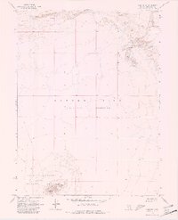
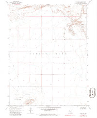
Editions of this 1969 Lone Rock Map
3 editions found
Other maps of this area

1908 · Carson Sink
USGS Topo · 1:250,000

1910 · Carson Sink
USGS Topo · 1:250,000

1931 · Lovelock
USGS Topo · 1:250,000

1935 · Lovelock
USGS Topo · 1:250,000

1954 · Buffalo Mtn
USGS Topo · 1:62,500

1955 · Lovelock
USGS Topo · 1:250,000

1956 · Lovelock
USGS Topo · 1:62,500

1957 · Reno
USGS Topo · 1:250,000

1959 · Lovelock
USGS Topo · 1:250,000

1959 · Reno
USGS Topo · 1:250,000