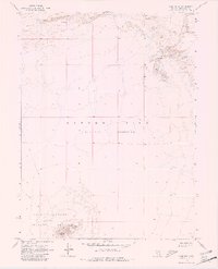
1969 Map of Lone Rock
USGS Topo · Published 1981About this map
The Carson Sink (Depression) dominates this desolate landscape in Churchill County, where the topography is defined by massive stretches of Alkali Flat and shifting Sand Dunes. This environment, largely devoid of permanent settlement, was utilized for military purposes in the late 1960s, as evidenced by the Navy Bombing Target Area situated in the southern portion of the quadrangle. The namesake Lone Rock stands as a prominent landmark amidst the surrounding basin, providing a rare point of relief in an otherwise low-lying expanse. Transport through this difficult terrain is limited to a singular Jeep Trail, indicating the isolation of the area during the post-war era.
Find a feature on this map
6 named features on this map. Tap any name to fly to it.
Don’t see what you’re looking for? This feature index may not catch every label — zoom into the map to look around manually.
Map Details
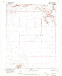
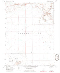
Editions of this 1969 Lone Rock Map
3 editions found
Other maps of this area

1908 · Carson Sink
USGS Topo · 1:250,000

1910 · Carson Sink
USGS Topo · 1:250,000

1931 · Lovelock
USGS Topo · 1:250,000

1935 · Lovelock
USGS Topo · 1:250,000

1954 · Buffalo Mtn
USGS Topo · 1:62,500

1955 · Lovelock
USGS Topo · 1:250,000

1956 · Lovelock
USGS Topo · 1:62,500

1957 · Reno
USGS Topo · 1:250,000

1959 · Lovelock
USGS Topo · 1:250,000

1959 · Reno
USGS Topo · 1:250,000