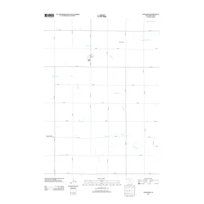
2013 Map of Lone Rock
USGS Topo · Published 2013About this map
Lone Rock serves as the primary settlement hub for this portion of Kossuth County, characterized by a meticulously organized grid of section-line roads and agricultural land. The town's local streets, including Reba St and Front St, center around the intersection of 70th Ave and 320th St. The surrounding landscape is defined by its drainage infrastructure, where natural waterways like Calamus Cr and Black Cat Cr are supplemented by man-made channels such as Drainage Ditch Number 63 and Drainage Ditch Number 69.
Find a feature on this map
28 named features on this map. Tap any name to fly to it.
Don’t see what you’re looking for? This feature index may not catch every label — zoom into the map to look around manually.
Map Details
Editions of this 2013 Lone Rock Map
This is the sole edition of this map. No revisions or reprints were ever made.
Other maps of this area

1954 · Fairmont
USGS Topo · 1:250,000

1958 · Fairmont
USGS Topo · 1:250,000

1972 · Algona
USGS Topo · 1:24,000

1972 · Bancroft
USGS Topo · 1:24,000

1972 · Burt
USGS Topo · 1:24,000

1980 · Lone Rock
USGS Topo · 1:24,000

1980 · Fenton
USGS Topo · 1:24,000

1980 · Seneca
USGS Topo · 1:24,000

1980 · Armstrong SE
USGS Topo · 1:24,000

1980 · Hobarton
USGS Topo · 1:24,000