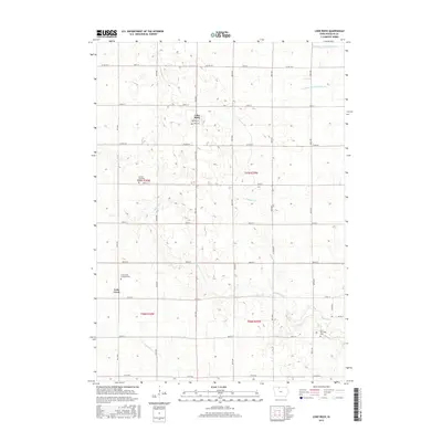
2015 Map of Lone Rock
USGS Topo · Published 2015About this map
Lone Rock serves as the primary hub in this portion of Kossuth County, characterized by a meticulously planned agricultural landscape. The township divisions of Fenton Township and Union Township are clearly delineated, with the land crisscrossed by a grid of rural roads like Co Hwy B14 and Co Rd B30. Natural drainage patterns provided by Black Cat Cr and Calamus Cr are supplemented by man-made infrastructure, including Drainage Ditch Number 69 and Drainage Ditch Number 63, reflecting the region's intensive water management for farming. For genealogists, the map identifies specific points of local history such as the Lotts Creek Lutheran Cem near the small settlement of Lotts Creek, and the Union Township Cem further east, providing a clear view of the area's community landmarks in the mid-2010s.
Find a feature on this map
28 named features on this map. Tap any name to fly to it.
Don’t see what you’re looking for? This feature index may not catch every label — zoom into the map to look around manually.
Map Details
Editions of this 2015 Lone Rock Map
This is the sole edition of this map. No revisions or reprints were ever made.
Other maps of this area

1954 · Fairmont
USGS Topo · 1:250,000

1958 · Fairmont
USGS Topo · 1:250,000

1972 · Algona
USGS Topo · 1:24,000

1972 · Bancroft
USGS Topo · 1:24,000

1972 · Burt
USGS Topo · 1:24,000

1980 · Lone Rock
USGS Topo · 1:24,000

1980 · Fenton
USGS Topo · 1:24,000

1980 · Seneca
USGS Topo · 1:24,000

1980 · Armstrong SE
USGS Topo · 1:24,000

1980 · Hobarton
USGS Topo · 1:24,000