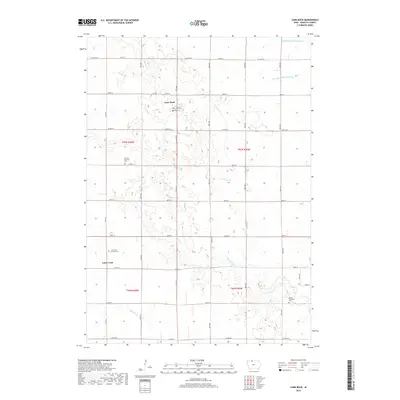
2018 Map of Lone Rock
USGS Topo · Published 2018About this map
Lone Rock serves as the primary hub of this North Central Iowa landscape, situated within a grid of section lines and rural roadways. The terrain is defined by a complex hydrographic network, where meandering natural waterways like Black Cat Creek and Calamus Creek are supplemented by engineered water management systems such as Drainage Ditch Number 69. This intersection of natural prairie drainage and agricultural improvement is characteristic of the region's development.
Find a feature on this map
27 named features on this map. Tap any name to fly to it.
Don’t see what you’re looking for? This feature index may not catch every label — zoom into the map to look around manually.
Map Details
Editions of this 2018 Lone Rock Map
This is the sole edition of this map. No revisions or reprints were ever made.
Other maps of this area

1954 · Fairmont
USGS Topo · 1:250,000

1958 · Fairmont
USGS Topo · 1:250,000

1972 · Algona
USGS Topo · 1:24,000

1972 · Bancroft
USGS Topo · 1:24,000

1972 · Burt
USGS Topo · 1:24,000

1980 · Lone Rock
USGS Topo · 1:24,000

1980 · Fenton
USGS Topo · 1:24,000

1980 · Seneca
USGS Topo · 1:24,000

1980 · Armstrong SE
USGS Topo · 1:24,000

1980 · Hobarton
USGS Topo · 1:24,000