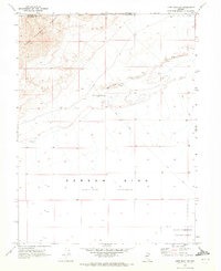
1969 Map of Lone Rock NW
USGS Topo · Published 1972About this map
The West Humboldt Range dominates the northwestern portion of this 1969 landscape, where steep slopes give way to a wide desert basin. The transition from the rugged highlands to the flat desert floor is marked by significant Sand Dunes that shift along the base of the mountains. Much of the southern half of the sheet is occupied by the Carson Sink (Depression), an expansive Alkali Flat that reflects the arid hydrologic patterns of the Great Basin.
Find a feature on this map
9 named features on this map. Tap any name to fly to it.
Don’t see what you’re looking for? This feature index may not catch every label — zoom into the map to look around manually.
Map Details
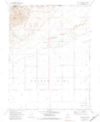
Editions of this 1969 Lone Rock NW Map
2 editions found
Other maps of this area

1908 · Carson Sink
USGS Topo · 1:250,000

1910 · Carson Sink
USGS Topo · 1:250,000

1931 · Lovelock
USGS Topo · 1:250,000

1935 · Lovelock
USGS Topo · 1:250,000

1951 · Carson Sink
USGS Topo · 1:62,500

1955 · Lovelock
USGS Topo · 1:250,000

1956 · Toulon
USGS Topo · 1:62,500

1956 · Lovelock
USGS Topo · 1:62,500

1957 · Reno
USGS Topo · 1:250,000

1959 · Lovelock
USGS Topo · 1:250,000