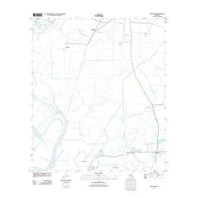
2012 Map of Lone Star
USGS Topo · Published 2012About this map
Lone Star and Goldridge anchor the northern landscape of this Iberville Parish survey, where residential lanes like Hymel St and Trabeaux Ln reveal the local family-named footprints of the era. The terrain is defined by a dense network of swampy waterways, notably the wide expanse of Lake Natchez and the winding course of Possum Bayou. To the south, the economy is visibly driven by the energy sector, marked by the Natchez Bay Gas Field and the Grand Bayou Oil and Gas Field. The settlement at Grand Bayou sits at the nexus of several bayous, including Bayou Corne and Bayou Choupique. Cultural heritage is captured in the road names near the southern marshes, such as Sauce Piquante Ln and Jambalaya St, reflecting the deep Cajun roots of the bayou country.
Find a feature on this map
40 named features on this map. Tap any name to fly to it.
Don’t see what you’re looking for? This feature index may not catch every label — zoom into the map to look around manually.
Map Details
Editions of this 2012 Lone Star Map
This is the sole edition of this map. No revisions or reprints were ever made.
Other maps of this area

1935 · Chicot Lake
USGS Topo · 1:62,500

1936 · White Castle
USGS Topo · 1:62,500

1945 · New Orleans
USGS Topo · 1:250,000

1948 · Foster
USGS Topo · 1:62,500

1953 · Napoleonville
USGS Topo · 1:62,500

1953 · Crescent
USGS Topo · 1:24,000
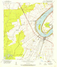
1953 · White Castle
USGS Topo · 1:24,000
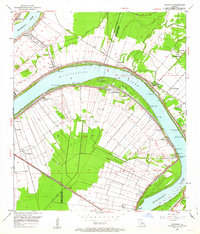
1953 · Carville
USGS Topo · 1:24,000

1954 · Chicot Lake
USGS Topo · 1:62,500

1954 · Baton Rouge
USGS Topo · 1:250,000