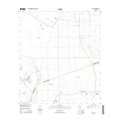
2015 Map of Lone Star
USGS Topo · Published 2015About this map
Lone Star and Goldridge sit within a landscape defined by the intricate waterways of the Atchafalaya Basin, where the border between Iberville Parish and Assumption Parish winds through wetlands. The southern portion of the area features the residential clusters of Pierre Part and Bayou Corne, settlements fundamentally tied to the surrounding bayou network. The hydrography is exceptionally dense, showing the connections between Grand Bayou, Bayou Pierre Part, and Lake Natchez Pass. A sparse but vital road network, including La-3001 and Richland Rd, provides transit through the low-lying terrain. This 2015 survey illustrates how the local geography continues to be shaped by water bodies such as Muddy Bayou and Bayou Choupic, highlighting the persistent relationship between South Louisiana communities and their riparian environment.
Find a feature on this map
43 named features on this map. Tap any name to fly to it.
Don’t see what you’re looking for? This feature index may not catch every label — zoom into the map to look around manually.
Map Details
Editions of this 2015 Lone Star Map
This is the sole edition of this map. No revisions or reprints were ever made.
Other maps of this area

1935 · Chicot Lake
USGS Topo · 1:62,500

1936 · White Castle
USGS Topo · 1:62,500

1945 · New Orleans
USGS Topo · 1:250,000

1948 · Foster
USGS Topo · 1:62,500

1953 · Napoleonville
USGS Topo · 1:62,500

1953 · Crescent
USGS Topo · 1:24,000
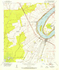
1953 · White Castle
USGS Topo · 1:24,000
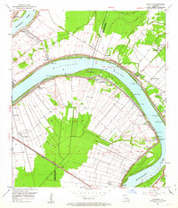
1953 · Carville
USGS Topo · 1:24,000

1954 · Chicot Lake
USGS Topo · 1:62,500

1954 · Baton Rouge
USGS Topo · 1:250,000