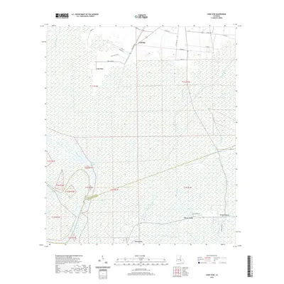
2020 Map of Lone Star
USGS Topo · Published 2020About this map
The low-lying wetlands of Iberville and Assumption Parishes dominate this landscape, defined by an intricate network of waterways including Bayou Pierre Part and Grand Bayou. The settlement of Lone Star is situated among these marshes, connected by roads such as Shell Oil Field Rd and New Camp Rd, which reflect the region's industrial and residential development. Further south, the map reveals the northern edges of Pierre Part, where the land meets Bayou Corne and Bayou Crouix. This modern survey illustrates the persistent importance of water-based geography, featuring distinctive hydrographic elements like Chopin Chute, Lake Natchez Pass, and Bay Natchez. The presence of named tracks like Sauce Piquante Ln and Fifty Foot Rd provides a detailed look at the local infrastructure required to navigate this saturated terrain near the northern reaches of the Atchafalaya Basin.
Find a feature on this map
36 named features on this map. Tap any name to fly to it.
Don’t see what you’re looking for? This feature index may not catch every label — zoom into the map to look around manually.
Map Details
Editions of this 2020 Lone Star Map
This is the sole edition of this map. No revisions or reprints were ever made.
Other maps of this area

1935 · Chicot Lake
USGS Topo · 1:62,500

1936 · White Castle
USGS Topo · 1:62,500

1945 · New Orleans
USGS Topo · 1:250,000

1948 · Foster
USGS Topo · 1:62,500

1953 · Napoleonville
USGS Topo · 1:62,500

1953 · Crescent
USGS Topo · 1:24,000
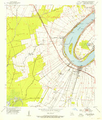
1953 · White Castle
USGS Topo · 1:24,000
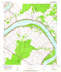
1953 · Carville
USGS Topo · 1:24,000

1954 · Chicot Lake
USGS Topo · 1:62,500

1954 · Baton Rouge
USGS Topo · 1:250,000