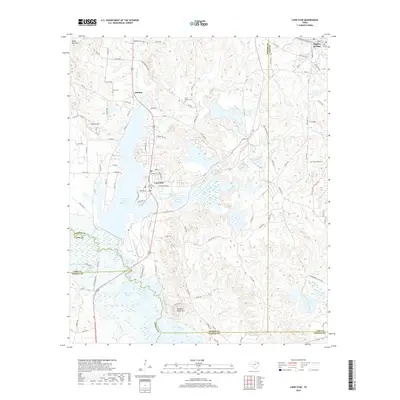
2019 Map of Lone Star
USGS Topo · Published 2019About this map
Lone Star and the northern reaches of Lake O' the Pines dominate this landscape near the junction of Morris, Cass, and Upshur counties. The map records a region shaped significantly by industrial-scale water management, where the waters of Big Cypress Creek are contained within the Ellison Creek Reservoir and Barnes Creek Reservoir. These reservoirs define the local geography, surrounded by prominent rises like Fowler Mtn and the Black Mountains.
Find a feature on this map
114 named features on this map. Tap any name to fly to it.
Don’t see what you’re looking for? This feature index may not catch every label — zoom into the map to look around manually.
Map Details
Editions of this 2019 Lone Star Map
This is the sole edition of this map. No revisions or reprints were ever made.
Other maps of this area

1914 · Daingerfield
USGS Topo · 1:62,500

1953 · Texarkana
USGS Topo · 1:250,000

1956 · Texarkana
USGS Topo · 1:250,000

1956 · Tyler
USGS Topo · 1:250,000

1960 · Coffeeville
USGS Topo · 1:24,000

1960 · La Fayette
USGS Topo · 1:24,000

1961 · Lassater
USGS Topo · 1:24,000

1962 · Avinger
USGS Topo · 1:24,000

1962 · Ore City
USGS Topo · 1:24,000

1962 · Lone Star
USGS Topo · 1:24,000