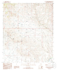
1985 Map of Lone Star Mountain
USGS Topo · Published 1986About this map
Sanchez and the winding course of the Gila River anchor this 1985 survey of Graham County. The landscape is defined by the elevation of the Gila Mountains, where numerous Prospect locations and Mine Shaft entries point to a history of mineral exploration concentrated around Lone Star Mountain. The area serves as a transition between the rugged heights of Farrell Mountain and the riparian corridor of the river below.
Find a feature on this map
32 named features on this map. Tap any name to fly to it.
Don’t see what you’re looking for? This feature index may not catch every label — zoom into the map to look around manually.
Map Details
Editions of this 1985 Lone Star Mountain Map
2 editions found
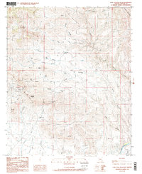
Other maps of this area

1902 · Clifton
USGS Topo · 1:62,500

1913 · Morenci
USGS Topo · 1:125,000

1915 · Morenci
USGS Topo · 1:125,000

1954 · Silver City
USGS Topo · 1:250,000

1954 · Clifton
USGS Topo · 1:250,000

1957 · Clifton
USGS Topo · 1:250,000

1958 · Silver City
USGS Topo · 1:250,000

1958 · Clifton
USGS Topo · 1:250,000

1960 · Guthrie
USGS Topo · 1:62,500

1960 · Safford
USGS Topo · 1:62,500