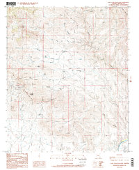
1985 Map of Lone Star Mountain
USGS Topo · Published 1986About this map
The Gila Mountains dominate this 1980s landscape, where rugged high-desert topography meets the winding course of the Gila River. In the mid-1980s, the area's history of mineral exploration was still visible in the numerous Prospect sites and Mine Shaft locations scattered along the southern slopes of Lone Star Mountain. These workings follow the complex geological formations near Solomon Pass, illustrating the persistent search for ore in Graham County.
Find a feature on this map
33 named features on this map. Tap any name to fly to it.
Don’t see what you’re looking for? This feature index may not catch every label — zoom into the map to look around manually.
Map Details
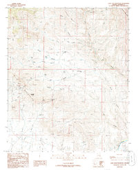
Editions of this 1985 Lone Star Mountain Map
2 editions found
Other maps of this area

1902 · Clifton
USGS Topo · 1:62,500

1913 · Morenci
USGS Topo · 1:125,000

1915 · Morenci
USGS Topo · 1:125,000

1954 · Silver City
USGS Topo · 1:250,000

1954 · Clifton
USGS Topo · 1:250,000

1957 · Clifton
USGS Topo · 1:250,000

1958 · Silver City
USGS Topo · 1:250,000

1958 · Clifton
USGS Topo · 1:250,000

1960 · Guthrie
USGS Topo · 1:62,500

1960 · Safford
USGS Topo · 1:62,500