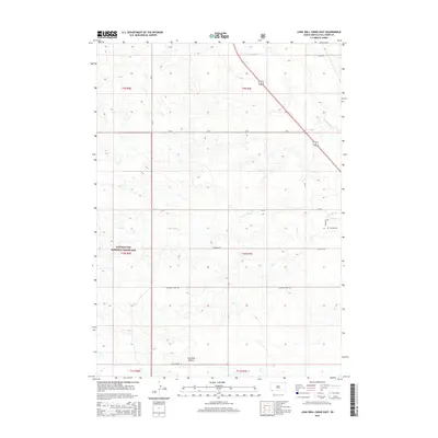
2015 Map of Lone Well Creek East
USGS Topo · Published 2015About this map
Buffalo Gap National Grassland dominates this portion of Fall River County, where the high plains landscape is defined by a network of seasonal drainages and early ranch roads. The topographic data reveals a complex system of creek beds including Horsehead Cr, Lone Well Cr, and Day Cr, which carve through the arid terrain. The presence of Hillside Cem near the eastern boundary offers a specific point of interest for genealogists and local historians, anchoring the surrounding rural landscape. Roads such as Strabram Rd, Milligan Rd, and Black Banks Rd trace the movement of people and livestock across the township lines of the southwestern South Dakota prairie. A notable geographic feature, Antelope Hollow, provides evidence of the distinct local naming conventions tied to the region's wildlife and landforms.
Find a feature on this map
20 named features on this map. Tap any name to fly to it.
Don’t see what you’re looking for? This feature index may not catch every label — zoom into the map to look around manually.
Map Details
Editions of this 2015 Lone Well Creek East Map
This is the sole edition of this map. No revisions or reprints were ever made.
Other maps of this area

1896 · Oelrichs
USGS Topo · 1:125,000

1900 · Oelrichs
USGS Topo · 1:125,000

1950 · Hot Springs SE
USGS Topo · 1:24,000

1950 · Angostura Reservoir
USGS Topo · 1:24,000

1955 · Hot Springs
USGS Topo · 1:250,000
1982 · Smithwick
USGS Topo · 1:25,000
1982 · Oelrichs SW
USGS Topo · 1:25,000
1982 · Black Banks Creek East
USGS Topo · 1:24,000
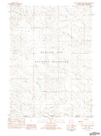
1982 · Black Banks Creek West
USGS Topo · 1:25,000
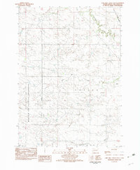
1982 · Lone Well Creek East
USGS Topo · 1:24,000