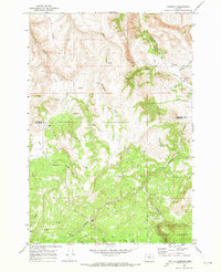
1969 Map of Lonerock
USGS Topo · Published 1973About this map
Lonerock serves as the primary hub in this corner of North Central Oregon, situated at the confluence of Lone Rock Creek and Robinette Creek. The 1969 field-checked data captures a remote landscape where the Gilliam Co Wheeler Co line bisects deep drainages and high plateaus. The topography is defined by significant elevation changes, from the depths of Boone Canyon to the heights of Pine Ridge.
Find a feature on this map
19 named features on this map. Tap any name to fly to it.
Don’t see what you’re looking for? This feature index may not catch every label — zoom into the map to look around manually.
Map Details
Editions of this 1969 Lonerock Map
2 editions found
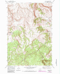
Other maps of this area

1916 · Condon
USGS Topo · 1:125,000

1926 · Mitchell
USGS Topo · 1:125,000

1953 · Spray
USGS Topo · 1:62,500

1953 · Pendleton
USGS Topo · 1:250,000

1953 · The Dalles
USGS Topo · 1:250,000

1955 · Bend
USGS Topo · 1:250,000

1955 · Canyon City
USGS Topo · 1:250,000

1956 · The Dalles
USGS Topo · 1:250,000

1956 · Pendleton
USGS Topo · 1:250,000

1957 · Bend
USGS Topo · 1:250,000