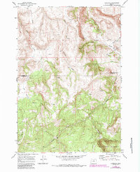
1969 Map of Lonerock
USGS Topo · Published 1984About this map
Lonerock sits at the northern end of this high-plateau landscape, tucked into the valley of Lone Rock Creek where Robinette Creek joins. The settlement pattern reflects the area's agricultural and resource-based history, with a small Cem positioned on a hillside overlooking the surrounding drainages. Further south, the map reveals the industrial legacy of the region at Cone Mill, located along Buckhorn Creek.
Find a feature on this map
22 named features on this map. Tap any name to fly to it.
Don’t see what you’re looking for? This feature index may not catch every label — zoom into the map to look around manually.
Map Details
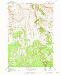
Editions of this 1969 Lonerock Map
2 editions found
Other maps of this area

1916 · Condon
USGS Topo · 1:125,000

1926 · Mitchell
USGS Topo · 1:125,000

1953 · Spray
USGS Topo · 1:62,500

1953 · Pendleton
USGS Topo · 1:250,000

1953 · The Dalles
USGS Topo · 1:250,000

1955 · Bend
USGS Topo · 1:250,000

1955 · Canyon City
USGS Topo · 1:250,000

1956 · The Dalles
USGS Topo · 1:250,000

1956 · Pendleton
USGS Topo · 1:250,000

1957 · Bend
USGS Topo · 1:250,000