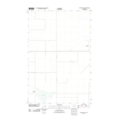
2011 Map of Lonesome Lake
USGS Topo · Published 2011About this map
Lonesome Lake anchors the southern portion of this Hill County landscape, where the seasonal drainage of the high plains is marked by distinctive coulees. The map details a sparse network of section lines and gravel access routes, including N Lonesome Lake Rd and Ihmsen Well Rd, reflecting the large-scale ranching and agricultural patterns of northern Montana in the early 21st century. The terrain is defined by dry watercourses such as Twelvemile Coulee and Barneys Coulee, which trace the slow movement of water across this open country. This survey by the U.S. Geological Survey provides an exact record of property boundaries and rural infrastructure, from remote wells to the minor transit corridors like Chohill Rd that link these isolated homesteads and pastures.
Find a feature on this map
6 named features on this map. Tap any name to fly to it.
Don’t see what you’re looking for? This feature index may not catch every label — zoom into the map to look around manually.
Map Details
Editions of this 2011 Lonesome Lake Map
This is the sole edition of this map. No revisions or reprints were ever made.
Other maps of this area

1904 · Boxelder
USGS Topo · 1:62,500

1906 · Lonesome
USGS Topo · 1:62,500

1906 · Boxelder
USGS Topo · 1:62,500

1919 · Big Sandy
USGS Topo · 1:125,000

1954 · Shelby
USGS Topo · 1:250,000

1958 · Shelby
USGS Topo · 1:250,000

1969 · Box Elder NW
USGS Topo · 1:24,000
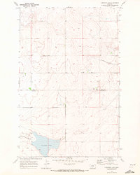
1969 · Lonesome Lake
USGS Topo · 1:24,000
1969 · Big Sandy
USGS Topo · 1:24,000
1969 · Fourteenmile Coulee SE
USGS Topo · 1:24,000