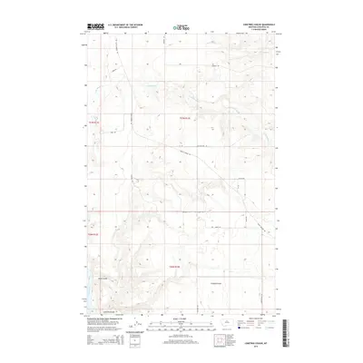
2014 Map of Lonetree Coulee
USGS Topo · Published 2014About this map
Missouri River frontage defines the southwestern corner of this Chouteau County landscape, where the water cuts through high Montana plains. The topography is dominated by dramatic drainage systems, most notably Lonetree Coulee, Crooked Coulee, and Alkali Coulee, which carve deep relief into the surrounding plateaus. This area serves as a transition between the river bottom and the higher reaches of the plains, where Big Sandy Cr and Little Sandy Cr flow across the northern sections. A sparse network of roads, such as Judith Landing Rd and Warrick Rd, follows the natural contours of the land, providing access to these drainage basins. The map captures a high-desert environment where the road names like Sheep Coulee Rd and Lonetree Trl suggest a long history of ranching and livestock movement through the coulees.
Find a feature on this map
21 named features on this map. Tap any name to fly to it.
Don’t see what you’re looking for? This feature index may not catch every label — zoom into the map to look around manually.
Map Details
Editions of this 2014 Lonetree Coulee Map
This is the sole edition of this map. No revisions or reprints were ever made.
Other maps of this area

1890 · Fort Benton
USGS Topo · 1:250,000

1892 · Fort Benton
USGS Topo · 1:250,000

1897 · Fort Benton
USGS Topo · 1:250,000

1919 · Big Sandy
USGS Topo · 1:125,000

1953 · Verona
USGS Topo · 1:24,000

1953 · Big Bend School
USGS Topo · 1:24,000

1953 · Lonetree Coulee
USGS Topo · 1:24,000

1953 · Pilot Rock
USGS Topo · 1:24,000

1953 · Havre
USGS Topo · 1:250,000

1954 · Great Falls
USGS Topo · 1:250,000