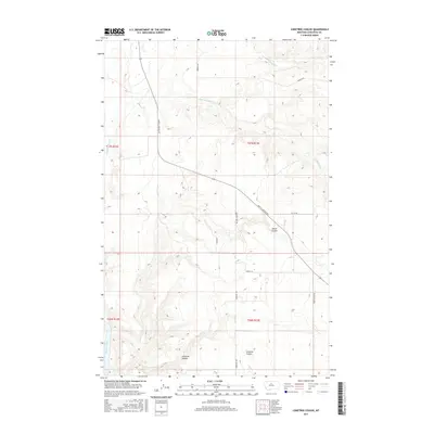
2017 Map of Lonetree Coulee
USGS Topo · Published 2017About this map
The Missouri River cuts through the southwestern corner of this landscape, carving deep relief into the surrounding high plains of north-central Montana. The terrain is defined by a network of drainage features, including the prominent Lonetree Coulee and Alkali Coulee, which illustrate the complex erosion patterns common in this semi-arid region. These coulees serve as the primary topographical markers in a territory primarily organized by its rural road network and public land survey system. Local transit and access are facilitated by routes such as Judith Landing Rd and Warrick Rd, which follow the contours of the land above Little Sandy Cr and Big Sandy Cr. This survey provides a modern baseline for understanding the physical geography and road corridors that have historically connected these remote ranching and agricultural lands between the river and the inland plains.
Find a feature on this map
19 named features on this map. Tap any name to fly to it.
Don’t see what you’re looking for? This feature index may not catch every label — zoom into the map to look around manually.
Map Details
Editions of this 2017 Lonetree Coulee Map
This is the sole edition of this map. No revisions or reprints were ever made.
Other maps of this area

1890 · Fort Benton
USGS Topo · 1:250,000

1892 · Fort Benton
USGS Topo · 1:250,000

1897 · Fort Benton
USGS Topo · 1:250,000

1919 · Big Sandy
USGS Topo · 1:125,000

1953 · Verona
USGS Topo · 1:24,000

1953 · Big Bend School
USGS Topo · 1:24,000

1953 · Lonetree Coulee
USGS Topo · 1:24,000

1953 · Pilot Rock
USGS Topo · 1:24,000

1953 · Havre
USGS Topo · 1:250,000

1954 · Great Falls
USGS Topo · 1:250,000