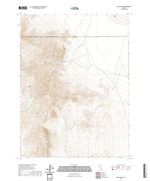
2021 Map of Long Canyon
USGS Topo · Published 2021About this map
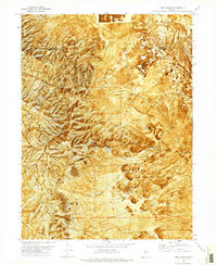
The Antelope Range dominates this corner of the Great Basin, where dramatic elevation changes define the landscape along the border of Humboldt and Pershing counties. In this arid environment, water sources like Box Canyon Spring Number Two represent critical landmarks for both early travelers and contemporary land management. The terrain is deeply incised by Long Canyon and Box Canyon, which drain northeast toward the relatively flat expanse of Desert Valley. A single primary route, Ely Rd, provides access through the eastern foothills of the range, following the natural contour between the steep mountain slopes and the valley floor. The map highlights the systematic division of the land through township and range boundaries, illustrating how this remote section of Nevada was partitioned for grazing and resource oversight.
Find a feature on this map
15 named features on this map. Tap any name to fly to it.
Don’t see what you’re looking for? This feature index may not catch every label — zoom into the map to look around manually.
Map Details
Editions of this 2021 Long Canyon Map
This is the sole edition of this map. No revisions or reprints were ever made.
Other maps of this area

1931 · Lovelock
USGS Topo · 1:250,000

1935 · Lovelock
USGS Topo · 1:250,000

1955 · Lovelock
USGS Topo · 1:250,000

1959 · Lovelock
USGS Topo · 1:250,000

1971 · Majuba Mtn
USGS Topo · 1:24,000

1971 · Rye Patch Reservoir North
USGS Topo · 1:24,000
1971 · Jungo
USGS Topo · 1:24,000
1971 · Jungo NE
USGS Topo · 1:24,000
1971 · Alpha Mountain
USGS Topo · 1:24,000
1971 · Long Canyon
USGS Topo · 1:24,000