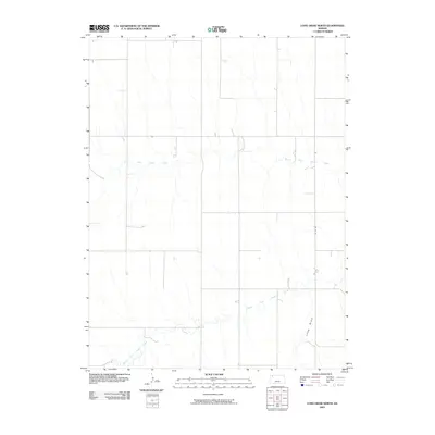
2009 Map of Long Draw North
USGS Topo · Published 2009About this map
North Fork Sappa Creek and Middle Fork Sappa Creek define the agricultural landscape of this high plains region in Rawlins County. The drainage patterns revealed here show a highly organized township-and-range grid system, where section lines dictate the path of local infrastructure like Co Rd 444. This layout reflects the enduring influence of the Homestead Act on the Kansas prairie, where water access was the primary driver of property value and land use. The presence of Long Draw cutting through the southeast corner highlights the subtle but critical topographical variations that directed early cattle movement and settlement patterns. Local history enthusiasts can trace how these natural watercourses dictated the development of rural routes across the open country.
Find a feature on this map
4 named features on this map. Tap any name to fly to it.
Don’t see what you’re looking for? This feature index may not catch every label — zoom into the map to look around manually.
Map Details
Editions of this 2009 Long Draw North Map
This is the sole edition of this map. No revisions or reprints were ever made.
Other maps of this area

1951 · Herndon
USGS Topo · 1:62,500

1951 · Achilles
USGS Topo · 1:62,500

1951 · Atwood
USGS Topo · 1:62,500

1951 · Chardon
USGS Topo · 1:62,500

1954 · Goodland
USGS Topo · 1:250,000

1956 · Goodland
USGS Topo · 1:250,000

1957 · Goodland
USGS Topo · 1:250,000

1965 · Achilles
USGS Topo · 1:24,000

1978 · Long Draw South
USGS Topo · 1:24,000
1978 · Atwood
USGS Topo · 1:24,000