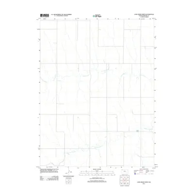
2012 Map of Long Draw North
USGS Topo · Published 2012About this map
N Fork Sappa Cr and Middle Fork Sappa Cr define the drainage patterns of this high plains section of Rawlins County. The landscape is marked by the winding courses of these seasonal waterways, which carve gentle depressions into the agricultural grid. A prominent terrain feature known as Long Draw cuts through the southeastern portion of the quadrangle, serving as a significant geographical marker for this part of Kansas. This 2012 survey documents the section lines and rural road networks that have structured the region's land use for generations, showing the intersection of natural hydrology and human-imposed boundaries in an area dominated by dryland farming and open range.
Find a feature on this map
3 named features on this map. Tap any name to fly to it.
Don’t see what you’re looking for? This feature index may not catch every label — zoom into the map to look around manually.
Map Details
Editions of this 2012 Long Draw North Map
This is the sole edition of this map. No revisions or reprints were ever made.
Other maps of this area

1951 · Herndon
USGS Topo · 1:62,500

1951 · Achilles
USGS Topo · 1:62,500

1951 · Atwood
USGS Topo · 1:62,500

1951 · Chardon
USGS Topo · 1:62,500

1954 · Goodland
USGS Topo · 1:250,000

1956 · Goodland
USGS Topo · 1:250,000

1957 · Goodland
USGS Topo · 1:250,000

1965 · Achilles
USGS Topo · 1:24,000

1978 · Long Draw South
USGS Topo · 1:24,000
1978 · Atwood
USGS Topo · 1:24,000