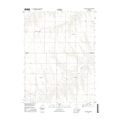
2015 Map of Long Draw South
USGS Topo · Published 2015About this map
S Fork Sappa Cr meanders across the high plains of northwest Kansas, cutting through the boundary between Rawlins and Thomas Counties. This area is characterized by a high density of rural cemeteries, such as Saint Patrick Cem, Lone Star Cem, and Cumberland Cem, which serve as permanent markers of early prairie settlement long after original homesteads have disappeared. The terrain is defined by the namesake Long Draw, a significant drainage feature that shapes the local topography north of the county line. A grid of rural roads, including Co RD 364 and Co RD 441, provides access to these isolated sites, reflecting the enduring township and range system that organized this agricultural landscape.
Find a feature on this map
30 named features on this map. Tap any name to fly to it.
Don’t see what you’re looking for? This feature index may not catch every label — zoom into the map to look around manually.
Map Details
Editions of this 2015 Long Draw South Map
This is the sole edition of this map. No revisions or reprints were ever made.
Other maps of this area

1943 · Colby
USGS Topo · 1:62,500

1951 · Achilles
USGS Topo · 1:62,500

1951 · Chardon
USGS Topo · 1:62,500

1954 · Goodland
USGS Topo · 1:250,000

1956 · Goodland
USGS Topo · 1:250,000

1957 · Goodland
USGS Topo · 1:250,000

1965 · Achilles
USGS Topo · 1:24,000

1967 · Colby
USGS Topo · 1:24,000

1978 · Long Draw South
USGS Topo · 1:24,000

1978 · Achilles SE
USGS Topo · 1:24,000