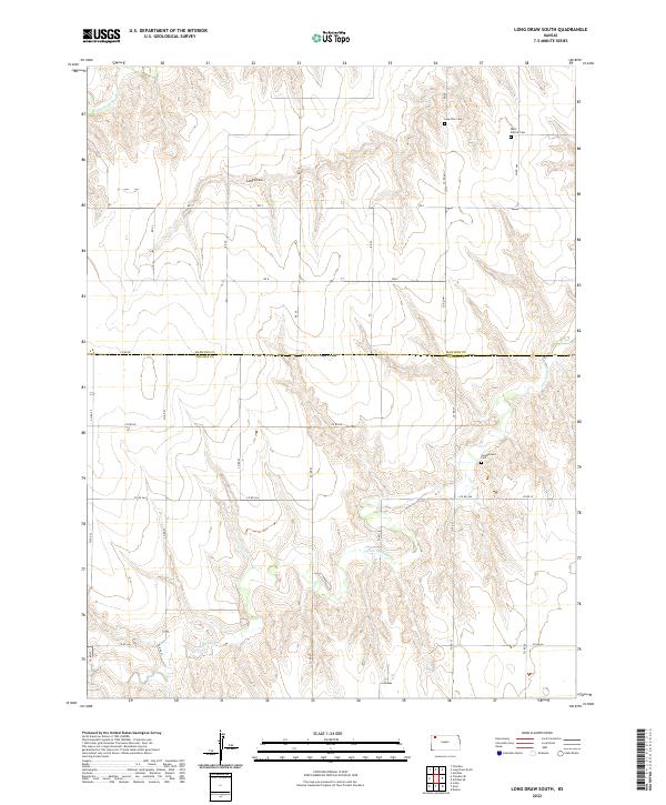
2022 Map of Long Draw South
USGS Topo · Published 2022About this map
S Fork Sappa Creek and the Middle Fork Sappa Creek define the drainage patterns across this high plains borderland, where the boundary between Rawlins and Thomas Counties bisects the landscape. The terrain is characterized by the distinct erosional feature known as Long Draw, which cuts through the township sections. This area remains largely defined by its rural cemetery sites, which serve as primary landmarks for local genealogy and history. Significant sites include Saint Patrick Cemetery in the northeast corner and Lone Star Cemetery nearby, while the Cumberland Cemetery is situated further south. The map provides a clear view of the section line road network, including County Road EE and County Road 364, which organize the agricultural allotment of the region.
Find a feature on this map
33 named features on this map. Tap any name to fly to it.
Don’t see what you’re looking for? This feature index may not catch every label — zoom into the map to look around manually.
Map Details
Editions of this 2022 Long Draw South Map
This is the sole edition of this map. No revisions or reprints were ever made.
Other maps of this area

1943 · Colby
USGS Topo · 1:62,500

1951 · Achilles
USGS Topo · 1:62,500

1951 · Chardon
USGS Topo · 1:62,500

1954 · Goodland
USGS Topo · 1:250,000

1956 · Goodland
USGS Topo · 1:250,000

1957 · Goodland
USGS Topo · 1:250,000

1965 · Achilles
USGS Topo · 1:24,000

1967 · Colby
USGS Topo · 1:24,000

1978 · Long Draw South
USGS Topo · 1:24,000

1978 · Achilles SE
USGS Topo · 1:24,000