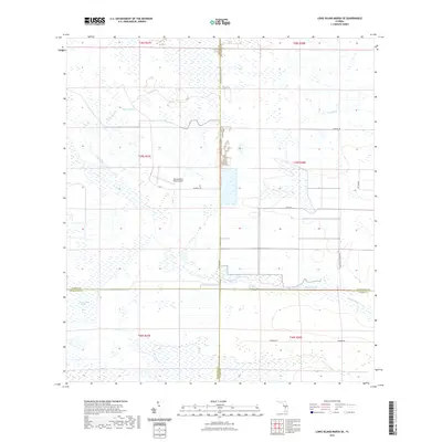
2021 Map of Long Island Marsh SE
USGS Topo · Published 2021About this map
Long Island Marsh and a network of seasonal sloughs dominate this intersection of Charlotte, DeSoto, Highlands, and Glades counties. The landscape is defined by its drainage patterns, with Gator Branch and Joe Slough cutting through the interior while Gannet Slough and Barney Slough cross the southern sections. This area remains largely undeveloped, characterized by wide stretches of marshland and a sparse network of roads following section lines and property boundaries.
Find a feature on this map
24 named features on this map. Tap any name to fly to it.
Don’t see what you’re looking for? This feature index may not catch every label — zoom into the map to look around manually.
Map Details
Editions of this 2021 Long Island Marsh SE Map
This is the sole edition of this map. No revisions or reprints were ever made.
Other maps of this area

1953 · Venus NW
USGS Topo · 1:24,000

1956 · Telegraph Swamp NE
USGS Topo · 1:24,000

1956 · Telegraph Swamp NW
USGS Topo · 1:24,000

1956 · Long Island Marsh SW
USGS Topo · 1:24,000

1956 · West Palm Beach
USGS Topo · 1:250,000

1956 · Fort Pierce
USGS Topo · 1:250,000

1957 · West Palm Beach
USGS Topo · 1:250,000

1957 · Long Island Marsh NW
USGS Topo · 1:24,000

1957 · Long Island Marsh SE
USGS Topo · 1:24,000

1957 · Venus SW
USGS Topo · 1:24,000