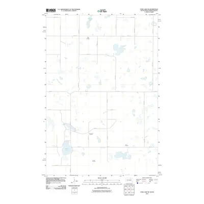
2011 Map of Long Lake NE
USGS Topo · Published 2011About this map
Saint Lucas Cemetery and several family-named burial grounds define this rural landscape on the North Dakota and South Dakota border. The terrain is characterized by numerous small prairie potholes and larger water bodies like Coldwater Lake in the north and Rath Lake further south. This 2011 survey documents a sparse settlement pattern connected by a grid of section-line roads, including 98th St SE and 357th Ave. The distribution of the Ehresman Cemetery, Saron Cemetery, and Gienger Cemetery suggests the enduring footprint of early homesteading families in this agricultural region. The landscape remains largely undeveloped, preserving the original surveying grid and the natural drainage patterns of the Dakota prairie.
Find a feature on this map
24 named features on this map. Tap any name to fly to it.
Don’t see what you’re looking for? This feature index may not catch every label — zoom into the map to look around manually.
Map Details
Editions of this 2011 Long Lake NE Map
This is the sole edition of this map. No revisions or reprints were ever made.
Other maps of this area

1896 · Edgeley
USGS Topo · 1:125,000

1899 · Ellendale
USGS Topo · 1:125,000

1925 · Edgeley
USGS Topo · 1:125,000

1953 · Jamestown
USGS Topo · 1:250,000

1954 · Aberdeen
USGS Topo · 1:250,000

1956 · Aberdeen
USGS Topo · 1:250,000

1956 · Jamestown
USGS Topo · 1:250,000

1968 · Long Lake
USGS Topo · 1:24,000

1968 · Long Lake SE
USGS Topo · 1:24,000

1968 · Long Lake NW
USGS Topo · 1:24,000