2017 Map of Long Lake NE
USGS Topo · Published 2017About this map
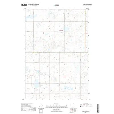
Coldwater Lake and the smaller Rath Lake dominate this prairie landscape where the borders of North and South Dakota meet. The terrain is characterized by the numerous wetlands and glacial depressions common to the borderlands of McIntosh and Dickey counties. Several family and community burial sites are preserved across the sections, including Saint Lucas Cem near the northern waters and Ehresman Cem further south. The grid-like road network, represented by routes such as 100th St SE and 64th Ave SE, connects the remote homesteads. Further south in South Dakota, Gienger Cem and Saron Cem sit near Co Hwy 17, marking the locations of early rural congregations in this agricultural region. This map illustrates the intersection of four counties and two states, centered on a low-lying lake basin and its surrounding farmsteads.
Find a feature on this map
35 named features on this map. Tap any name to fly to it.
Don’t see what you’re looking for? This feature index may not catch every label — zoom into the map to look around manually.
Map Details
Editions of this 2017 Long Lake NE Map
This is the sole edition of this map. No revisions or reprints were ever made.
Other maps of this area

1896 · Edgeley
USGS Topo · 1:125,000

1899 · Ellendale
USGS Topo · 1:125,000

1925 · Edgeley
USGS Topo · 1:125,000

1953 · Jamestown
USGS Topo · 1:250,000

1954 · Aberdeen
USGS Topo · 1:250,000

1956 · Aberdeen
USGS Topo · 1:250,000

1956 · Jamestown
USGS Topo · 1:250,000

1968 · Long Lake
USGS Topo · 1:24,000

1968 · Long Lake SE
USGS Topo · 1:24,000

1968 · Long Lake NW
USGS Topo · 1:24,000