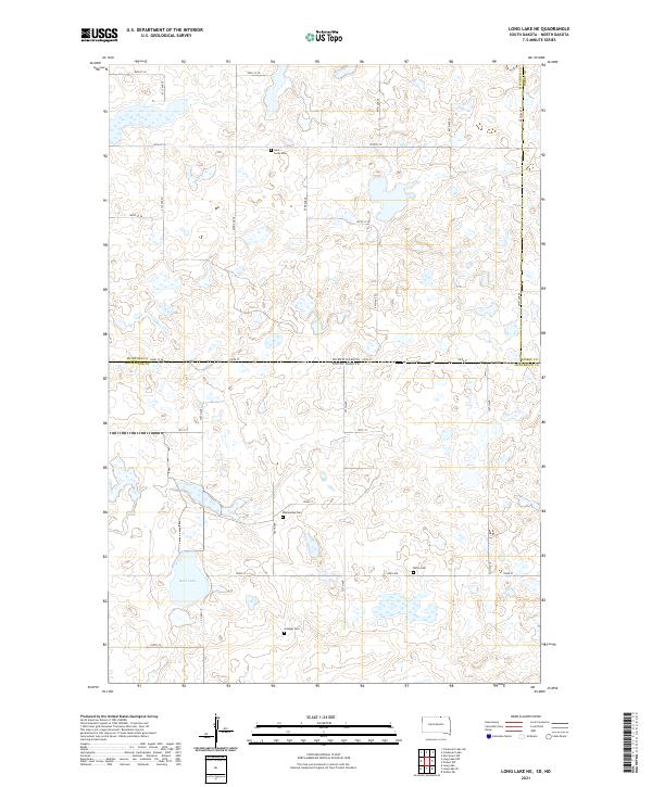
2021 Map of Long Lake NE
USGS Topo · Published 2021About this map
Saint Lucas Cem and Ehresman Cem anchor a landscape defined by the prairie pothole region along the state line where North Dakota meets South Dakota. This 2021 survey documents a high-plains interior where the borders of Mcintosh Co, Dickey Co, and McPherson Co converge. The terrain is characterized by numerous small glacial wetlands and basins surrounding Rath Lake, creating a complex hydrological network that has influenced local section lines and farmstead placement for generations. Family and community heritage is preserved in the locations of Gienger Cem and Saron Cem, which serve as quiet markers of the rural families who settled these borderlands. The rectilinear road grid, including Co Hwy 17 and Co Hwy 19, maintains the disciplined structure of the original Land Ordinance surveys, providing access to the isolated agricultural tracts that dominate this tri-county region.
Find a feature on this map
35 named features on this map. Tap any name to fly to it.
Don’t see what you’re looking for? This feature index may not catch every label — zoom into the map to look around manually.
Map Details
Editions of this 2021 Long Lake NE Map
This is the sole edition of this map. No revisions or reprints were ever made.
Other maps of this area

1896 · Edgeley
USGS Topo · 1:125,000

1899 · Ellendale
USGS Topo · 1:125,000

1925 · Edgeley
USGS Topo · 1:125,000

1953 · Jamestown
USGS Topo · 1:250,000

1954 · Aberdeen
USGS Topo · 1:250,000

1956 · Aberdeen
USGS Topo · 1:250,000

1956 · Jamestown
USGS Topo · 1:250,000

1968 · Long Lake
USGS Topo · 1:24,000

1968 · Long Lake SE
USGS Topo · 1:24,000

1968 · Long Lake NW
USGS Topo · 1:24,000