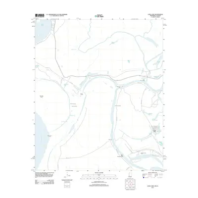
2012 Map of Long Lake
USGS Topo · Published 2012About this map
The Yazoo River and its complex network of oxbow lakes and secondary channels define this riparian landscape north of Vicksburg. This 2012 survey illustrates a region where water management and river navigation remain central to geography, seen in the Yazoo River Diversion Canal and the sprawling Vicksburg Harbor Project. The terrain is marked by numerous landings such as McKees Landing, Little Cuba Landing, and Dalneys Landing, indicating the continued importance of river access in the delta. Large oxbow features like Eagle Lake, Horseshoe Lake, and Long Lake trace the historic migrations of the river channel. Active water crossings are documented at the Eagle Lake Ferry and Kings Ferry, while the presence of Paw Paw Island and Paw Paw Chute highlights the shifting nature of the Mississippi River boundary on the western edge of the quadrangle.
Find a feature on this map
44 named features on this map. Tap any name to fly to it.
Don’t see what you’re looking for? This feature index may not catch every label — zoom into the map to look around manually.
Map Details
Editions of this 2012 Long Lake Map
This is the sole edition of this map. No revisions or reprints were ever made.
Other maps of this area

1909 · Millikens Bend
USGS Topo · 1:24,000

1909 · Mound
USGS Topo · 1:24,000

1910 · Mound
USGS Topo · 1:31,680

1918 · Vicksburg
USGS Topo · 1:62,500

1939 · Onward
USGS Topo · 1:62,500

1939 · Talla Bena
USGS Topo · 1:62,500

1939 · Alsatia
USGS Topo · 1:62,500

1941 · Vicksburg
USGS Topo · 1:62,500

1955 · Jackson
USGS Topo · 1:250,000

1961 · Jackson
USGS Topo · 1:250,000