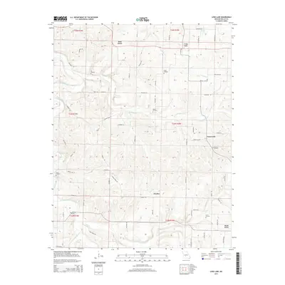
2015 Map of Long Lane
USGS Topo · Published 2015About this map
The Niangua River winds through the western edge of this Dallas County landscape, defining a terrain shaped by numerous watercourses including Dousinbury Cr, Fourmile Cr, and Jones Cr. Small crossroads communities and family-named landmarks characterize the settlement pattern, with the towns of Wall Street and Long Lane situated along the northern corridor. These rural hubs are connected by a network of local roads such as Wagon Wheel Rd and Brushy Ridge Rd, which traverse the undulating Ozark topography.
Find a feature on this map
61 named features on this map. Tap any name to fly to it.
Don’t see what you’re looking for? This feature index may not catch every label — zoom into the map to look around manually.
Map Details
Editions of this 2015 Long Lane Map
This is the sole edition of this map. No revisions or reprints were ever made.
Other maps of this area

1884 · Springfield
USGS Topo · 1:125,000

1884 · Bolivar
USGS Topo · 1:125,000

1886 · Springfield
USGS Topo · 1:125,000

1892 · Bolivar
USGS Topo · 1:125,000

1939 · Long Lane
USGS Topo · 1:62,500

1942 · Long Lane
USGS Topo · 1:62,500

1946 · Niangua
USGS Topo · 1:62,500

1947 · Strafford
USGS Topo · 1:62,500

1948 · Niangua
USGS Topo · 1:62,500

1948 · Strafford
USGS Topo · 1:62,500