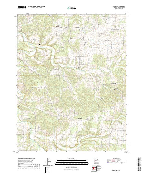
2021 Map of Long Lane
USGS Topo · Published 2021About this map
The Niangua River winds through the southwestern corner of this Dallas County landscape, defining a terrain of high ridges and deep creek hollows. Small rural communities like Long Lane, Earnestville, Wall Street, and Handley anchor the road network, which is dominated by state routes and numbered county roads. The settlement pattern here is distinctly tied to family and community history, evidenced by the numerous burial grounds scattered across the quadrangle.
Find a feature on this map
81 named features on this map. Tap any name to fly to it.
Don’t see what you’re looking for? This feature index may not catch every label — zoom into the map to look around manually.
Map Details
Editions of this 2021 Long Lane Map
This is the sole edition of this map. No revisions or reprints were ever made.
Other maps of this area

1884 · Springfield
USGS Topo · 1:125,000

1884 · Bolivar
USGS Topo · 1:125,000

1886 · Springfield
USGS Topo · 1:125,000

1892 · Bolivar
USGS Topo · 1:125,000

1939 · Long Lane
USGS Topo · 1:62,500

1942 · Long Lane
USGS Topo · 1:62,500

1946 · Niangua
USGS Topo · 1:62,500

1947 · Strafford
USGS Topo · 1:62,500

1948 · Niangua
USGS Topo · 1:62,500

1948 · Strafford
USGS Topo · 1:62,500