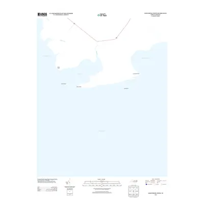
2013 Map of Long Shoal Point
USGS Topo · Published 2013About this map
The coastal margins of the Pamlico Sound define this landscape, where the land fragments into a series of points and marshy inlets. Long Shoal Point and Rawls Point reach out into the water, framing the mouth of Pains Bay and the adjacent Rawls Island. The geography here is dominated by the transition from the mainland to the sound, with Muddy Creek and the Long Shoal River feeding into the intricate estuarine system. This 2013 survey illustrates the sparse, undeveloped nature of this section of the Outer Banks region, where only the thin line of Highway 264 provides a connection across the wetlands. Names like Parched Corn Bay and Pains Cr suggest a local history tied to the difficult navigation and subsistence of this water-bound environment, highlighting a shoreline that remains largely dictated by the natural movements of the Long Shoal.
Find a feature on this map
12 named features on this map. Tap any name to fly to it.
Don’t see what you’re looking for? This feature index may not catch every label — zoom into the map to look around manually.
Map Details
Editions of this 2013 Long Shoal Point Map
This is the sole edition of this map. No revisions or reprints were ever made.
Other maps of this area

1943 · Roanoke Island
USGS Topo · 1:125,000

1951 · Middletown Anchorage
USGS Topo · 1:24,000

1951 · Long Shoal Point
USGS Topo · 1:24,000

1951 · Engelhard East
USGS Topo · 1:24,000

1953 · Engelhard NW
USGS Topo · 1:24,000

1953 · Stumpy Point
USGS Topo · 1:24,000

1953 · Engelhard NE
USGS Topo · 1:24,000

1955 · Wanchese
USGS Topo · 1:250,000

1957 · Manteo
USGS Topo · 1:250,000

1960 · Manteo
USGS Topo · 1:250,000