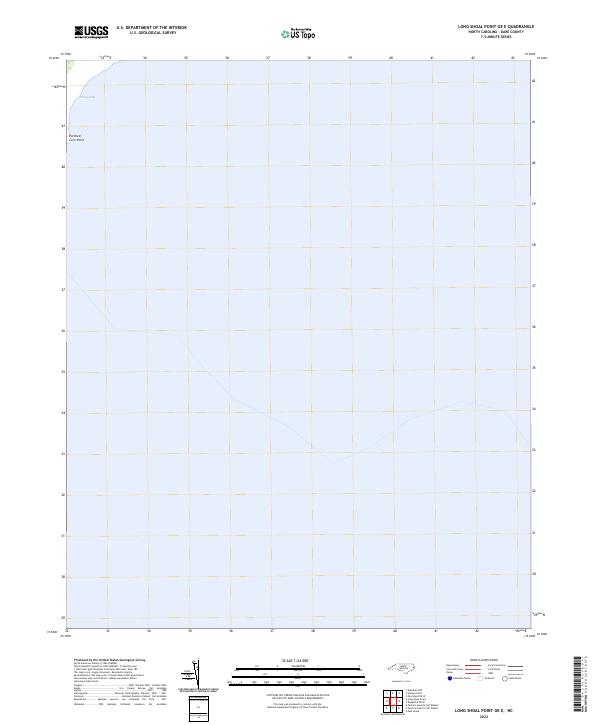
2022 Map of Long Shoal Point OE E
USGS Topo · Published 2022About this map
Parched Corn Point and Sandy Bay define the coastal landscape of this portion of North Carolina's Outer Banks region. As a map dominated by the open waters of the Pamlico Sound, it focuses on the delicate interface where land meets the sound. This specific area, charted as part of a 2022 survey, illustrates the sparse and low-lying nature of the shoreline in Dare County. The absence of roads or structures indicates a highly protected or naturally resilient environment, where names like Parched Corn Point hint at the local maritime history and geography of the banks.
Find a feature on this map
2 named features on this map. Tap any name to fly to it.
Don’t see what you’re looking for? This feature index may not catch every label — zoom into the map to look around manually.
Map Details
Editions of this 2022 Long Shoal Point OE E Map
This is the sole edition of this map. No revisions or reprints were ever made.
Other maps of this area

1943 · Roanoke Island
USGS Topo · 1:125,000

1951 · Long Shoal Point
USGS Topo · 1:24,000

1953 · Stumpy Point
USGS Topo · 1:24,000

1953 · Engelhard NE
USGS Topo · 1:24,000

1955 · Wanchese
USGS Topo · 1:250,000

1957 · Manteo
USGS Topo · 1:250,000

1960 · Manteo
USGS Topo · 1:250,000

1985 · Cape Hatteras
USGS Topo · 1:100,000

1985 · Manteo
USGS Topo · 1:100,000
2000 · Engelhard NE
USGS Topo · 1:24,000