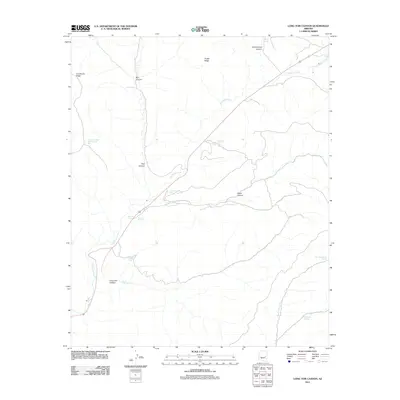
2011 Map of Long Tom Canyon
USGS Topo · Published 2011About this map
Corduroy Creek defines the drainage of this high-altitude landscape, carving its way through the central portion of the quadrangle. The terrain is marked by significant elevation changes, from the prominent Limestone Ridge and Snake Ridge to the deep recesses of Long Tom Canyon and Cedar Canyon. Strategic water sources appear throughout the dry terrain, including Long Tom Spring, Dripping Spring, and Little Spring, alongside man-made water storage such as Cedar Canyon Tank and Bull Pasture Tank. These features indicate the importance of water management in a region defined by its rugged canyons and named landforms like Bear Playground and Bull Canyon. The presence of highway infrastructure cutting through the canyon systems shows the modern integration of this traditionally remote landscape.
Find a feature on this map
21 named features on this map. Tap any name to fly to it.
Don’t see what you’re looking for? This feature index may not catch every label — zoom into the map to look around manually.
Map Details
Editions of this 2011 Long Tom Canyon Map
This is the sole edition of this map. No revisions or reprints were ever made.
Other maps of this area

1886 · Holbrook
USGS Topo · 1:250,000

1893 · Holbrook
USGS Topo · 1:250,000

1954 · Holbrook
USGS Topo · 1:250,000

1954 · Mesa
USGS Topo · 1:250,000

1957 · Mesa
USGS Topo · 1:250,000

1957 · Holbrook
USGS Topo · 1:250,000

1958 · Mesa
USGS Topo · 1:250,000

1958 · Holbrook
USGS Topo · 1:250,000

1960 · Holbrook
USGS Topo · 1:250,000

1960 · Mesa
USGS Topo · 1:250,000