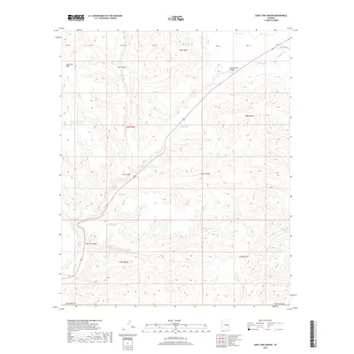
2018 Map of Long Tom Canyon
USGS Topo · Published 2018About this map
Long Tom Spring and other vital water sources define this high-country landscape in Navajo County. In a region shaped by deep drainages like Long Tom Canyon and Cedar Canyon, the placement of artificial water catchments such as Highway Sixty Tank and Dove Tank reflects the essential infrastructure required for ranching and travel through this part of Arizona. The topography is anchored by prominent elevations including Snake Ridge and Limestone Ridge, while the drainage system of Corduroy Cr and its tributaries carve intricate patterns across the terrain.
Find a feature on this map
33 named features on this map. Tap any name to fly to it.
Don’t see what you’re looking for? This feature index may not catch every label — zoom into the map to look around manually.
Map Details
Editions of this 2018 Long Tom Canyon Map
This is the sole edition of this map. No revisions or reprints were ever made.
Other maps of this area

1886 · Holbrook
USGS Topo · 1:250,000

1893 · Holbrook
USGS Topo · 1:250,000

1954 · Holbrook
USGS Topo · 1:250,000

1954 · Mesa
USGS Topo · 1:250,000

1957 · Mesa
USGS Topo · 1:250,000

1957 · Holbrook
USGS Topo · 1:250,000

1958 · Mesa
USGS Topo · 1:250,000

1958 · Holbrook
USGS Topo · 1:250,000

1960 · Holbrook
USGS Topo · 1:250,000

1960 · Mesa
USGS Topo · 1:250,000