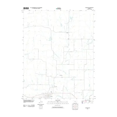
2010 Map of Longton
USGS Topo · Published 2010About this map
Longton serves as the primary hub of this Elk County landscape, situated along the southern bend of the Elk River. The town's grid, featuring streets like 2nd St and 6th St, is bordered to the north by the Longton Cemetery. This area reflects the region's industrial heritage through the Longton Oil and Gas Field, which occupies a significant portion of the central terrain. The rural landscape is defined by an extensive network of tributaries, including Painterhood Creek and Hitchen Creek, which feed into the main river valley.
Find a feature on this map
43 named features on this map. Tap any name to fly to it.
Don’t see what you’re looking for? This feature index may not catch every label — zoom into the map to look around manually.
Map Details
Editions of this 2010 Longton Map
This is the sole edition of this map. No revisions or reprints were ever made.
Other maps of this area

1885 · Eureka
USGS Topo · 1:125,000

1885 · Sedan
USGS Topo · 1:125,000

1886 · Fredonia
USGS Topo · 1:125,000

1886 · Independence
USGS Topo · 1:125,000

1888 · Eureka
USGS Topo · 1:125,000

1889 · Sedan
USGS Topo · 1:125,000

1894 · Fredonia
USGS Topo · 1:125,000

1894 · Independence
USGS Topo · 1:125,000

1894 · Eureka
USGS Topo · 1:125,000

1905 · Independence
USGS Topo · 1:125,000