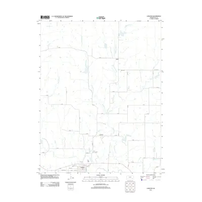
2012 Map of Longton
USGS Topo · Published 2012About this map
The Elk River flows across the southern portion of this landscape, anchoring the town of Longton. This corner of Elk County is defined by a dendritic network of streams, including Hitchen Cr and the various branches of Painterhood Cr, which carve through the plains. The rural character of the area is punctuated by the small settlement of Busby to the north and evidence of regional industry at the Longton Oil and Gas Field. Local history is preserved at sites like the Longton Cem and Busby Cem, which serve as quiet landmarks for genealogists. The grid of section roads, such as Busby Rd and Road 26, provides clear access to the agricultural tracts and riparian corridors that have shaped the development of this Kansas prairie for generations.
Find a feature on this map
54 named features on this map. Tap any name to fly to it.
Don’t see what you’re looking for? This feature index may not catch every label — zoom into the map to look around manually.
Map Details
Editions of this 2012 Longton Map
This is the sole edition of this map. No revisions or reprints were ever made.
Other maps of this area

1885 · Eureka
USGS Topo · 1:125,000

1885 · Sedan
USGS Topo · 1:125,000

1886 · Fredonia
USGS Topo · 1:125,000

1886 · Independence
USGS Topo · 1:125,000

1888 · Eureka
USGS Topo · 1:125,000

1889 · Sedan
USGS Topo · 1:125,000

1894 · Fredonia
USGS Topo · 1:125,000

1894 · Independence
USGS Topo · 1:125,000

1894 · Eureka
USGS Topo · 1:125,000

1905 · Independence
USGS Topo · 1:125,000