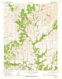
1964 Map of Longton
USGS Topo · Published 1965About this map
The Painterhood Indian Treaty Boundary carves a historical line across this Elk County landscape, marking a legacy of land division in southeastern Kansas. The town of Longton serves as the primary hub, situated near the southern edge where the Atchison Topeka and Santa Fe railroad tracks run parallel to the Elk River. This mid-century survey captures the region's industrial profile, characterized by the Longton Oil and Gas Field and scattered Oil Wells that dot the countryside between established homesteads.
Find a feature on this map
18 named features on this map. Tap any name to fly to it.
Don’t see what you’re looking for? This feature index may not catch every label — zoom into the map to look around manually.
Map Details
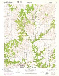
Editions of this 1964 Longton Map
2 editions found
Other maps of this area

1885 · Eureka
USGS Topo · 1:125,000

1885 · Sedan
USGS Topo · 1:125,000

1886 · Fredonia
USGS Topo · 1:125,000

1886 · Independence
USGS Topo · 1:125,000

1888 · Eureka
USGS Topo · 1:125,000

1889 · Sedan
USGS Topo · 1:125,000

1894 · Fredonia
USGS Topo · 1:125,000

1894 · Independence
USGS Topo · 1:125,000

1894 · Eureka
USGS Topo · 1:125,000

1905 · Independence
USGS Topo · 1:125,000