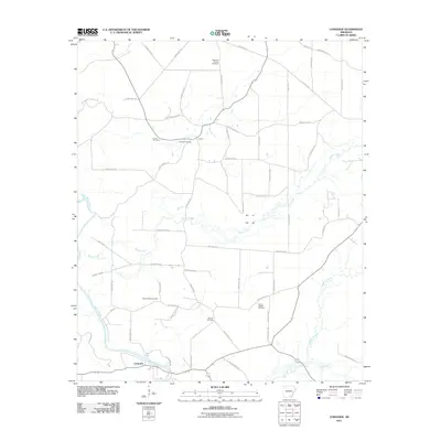
2011 Map of Longview
USGS Topo · Published 2011About this map
Longview and the settlement of Valley anchor this portion of southeast Arkansas, where the winding course of the Saline River defines the landscape. The river, a significant hydrological feature of the region, is joined by several tributaries including Brown Creek, Panther Creek, and Flat Creek. The road network is heavily developed with county routes, such as County Rd-323 and County Rd-8, alongside locally named paths like Carl Oneal Rd and Gees Landing Rd, suggesting a mix of agricultural and timber access throughout the territory.
Find a feature on this map
53 named features on this map. Tap any name to fly to it.
Don’t see what you’re looking for? This feature index may not catch every label — zoom into the map to look around manually.
Map Details
Editions of this 2011 Longview Map
This is the sole edition of this map. No revisions or reprints were ever made.
Other maps of this area

1934 · Ingalls
USGS Topo · 1:48,000

1937 · Ingalls
USGS Topo · 1:62,500

1939 · Ingalls
USGS Topo · 1:62,500

1952 · Fountain Hill
USGS Topo · 1:24,000

1953 · Greenwood
USGS Topo · 1:250,000

1953 · El Dorado
USGS Topo · 1:250,000

1956 · Greenwood
USGS Topo · 1:250,000

1957 · El Dorado
USGS Topo · 1:250,000

1958 · El Dorado
USGS Topo · 1:250,000

1960 · El Dorado
USGS Topo · 1:250,000