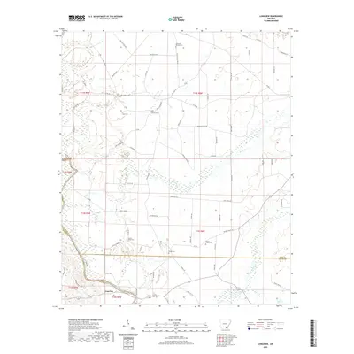
2020 Map of Longview
USGS Topo · Published 2020About this map
Longview sits at the junction of the Saline River and several local drainages in this modern survey of the tri-county border area where Bradley, Drew, and Ashley counties meet. The landscape is defined by the winding course of the Saline River and its tributaries, including Brown Cr and Flat Cr. This area is notable for its high density of small family and community burial grounds, which provide vital clues for genealogists and local historians. Scattered across the rural timber and pasture lands are numerous sites such as Mount Peter Cem, Sixteenth Section Cem, and Hales Cem. The road network is primarily composed of local routes like Carl O'Neil Rd and CB Franklin RD, reflecting a quiet rural character that has persisted into the 21st century even as modern designations like the Palmetto Flat Exit connect the area to broader regional transit.
Find a feature on this map
76 named features on this map. Tap any name to fly to it.
Don’t see what you’re looking for? This feature index may not catch every label — zoom into the map to look around manually.
Map Details
Editions of this 2020 Longview Map
This is the sole edition of this map. No revisions or reprints were ever made.
Other maps of this area

1934 · Ingalls
USGS Topo · 1:48,000

1937 · Ingalls
USGS Topo · 1:62,500

1939 · Ingalls
USGS Topo · 1:62,500

1952 · Fountain Hill
USGS Topo · 1:24,000

1953 · Greenwood
USGS Topo · 1:250,000

1953 · El Dorado
USGS Topo · 1:250,000

1956 · Greenwood
USGS Topo · 1:250,000

1957 · El Dorado
USGS Topo · 1:250,000

1958 · El Dorado
USGS Topo · 1:250,000

1960 · El Dorado
USGS Topo · 1:250,000