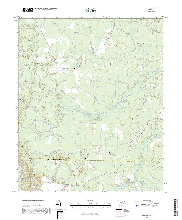
2024 Map of Longview
USGS Topo · Published 2024About this map
The Saline River winds through this region of Southeast Arkansas, marking a landscape defined by its waterways and small rural settlements. Near the river's edge, the site of Long View Ferry and the community of Longview represent historic points of transit and river-based activity. The surrounding terrain is crisscrossed by numerous local roads and trails, such as Palmetto Flat Rd and Gees Landing Rd, which connect various family and community landmarks.
Find a feature on this map
77 named features on this map. Tap any name to fly to it.
Don’t see what you’re looking for? This feature index may not catch every label — zoom into the map to look around manually.
Map Details
Editions of this 2024 Longview Map
This is the sole edition of this map. No revisions or reprints were ever made.
Other maps of this area

1934 · Ingalls
USGS Topo · 1:48,000

1937 · Ingalls
USGS Topo · 1:62,500

1939 · Ingalls
USGS Topo · 1:62,500

1952 · Fountain Hill
USGS Topo · 1:24,000

1953 · Greenwood
USGS Topo · 1:250,000

1953 · El Dorado
USGS Topo · 1:250,000

1956 · Greenwood
USGS Topo · 1:250,000

1957 · El Dorado
USGS Topo · 1:250,000

1958 · El Dorado
USGS Topo · 1:250,000

1960 · El Dorado
USGS Topo · 1:250,000