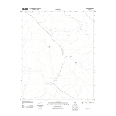
2012 Map of Lonoak
USGS Topo · Published 2012About this map
Lonoak occupies the intersection of Lonoak Rd and Bitterwater Cr, serving as a central point in this stretch of the California Coast Ranges. The landscape is defined by the broad Bitterwater Valley and Peachtree Valley, where seasonal drainage systems like Lewis Cr and San Lorenzo Cr carve through the terrain. Significant local landmarks include Tully Mountain and the curiously named Lake Tanganyika, situated in the northeast near Trough Spring. Rural life is centered around long-standing hubs such as Tully Hall and the De Alvarez Ranch, with numerous named water sources like Greentree Spring and Ligs Spring indicating the importance of water management in this environment. The map details the transition from the steep walls of Yaqui Canyon and Dixon Canyon to the more accessible valley floors used for ranching and transport.
Find a feature on this map
29 named features on this map. Tap any name to fly to it.
Don’t see what you’re looking for? This feature index may not catch every label — zoom into the map to look around manually.
Map Details
Editions of this 2012 Lonoak Map
This is the sole edition of this map. No revisions or reprints were ever made.
Other maps of this area

1915 · Priest Valley
USGS Topo · 1:125,000

1919 · King City
USGS Topo · 1:62,500

1921 · Metz
USGS Topo · 1:62,500

1939 · King City
USGS Topo · 1:62,500

1940 · Metz
USGS Topo · 1:62,500

1941 · San Ardo
USGS Topo · 1:62,500

1943 · San Ardo
USGS Topo · 1:62,500

1943 · Hernandez Valley
USGS Topo · 1:62,500

1944 · Hernandez Valley
USGS Topo · 1:62,500

1947 · Metz
USGS Topo · 1:62,500