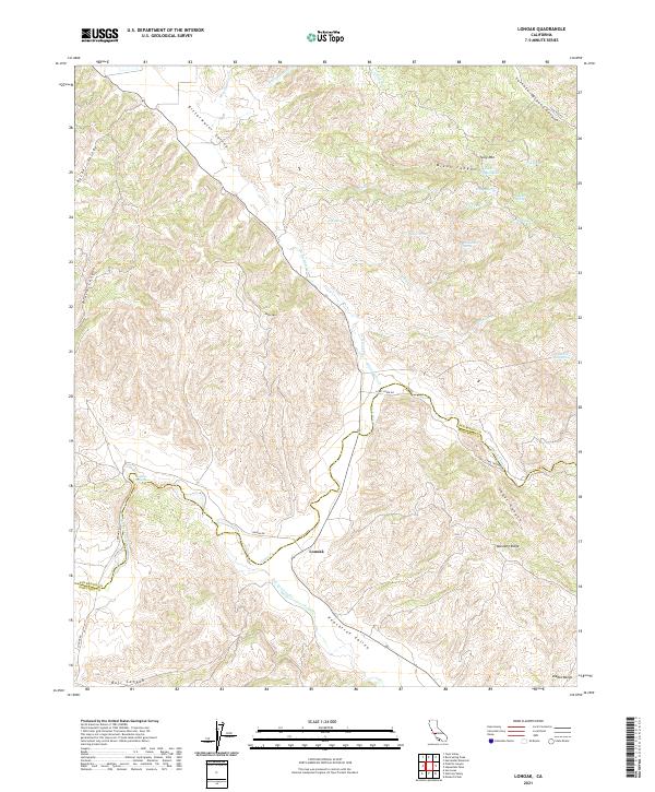
2021 Map of Lonoak
USGS Topo · Published 2021About this map
Lonoak serves as the central point of this modern survey of the California Coast Ranges, situated where the Peachtree Valley meets the lower slopes of the Diablo Range. The landscape is defined by its canyon systems and isolated water sources, including the distinctively named Lake Fanganyika and various mountain springs such as Fourth of July Spring and Hidden Spring. The complex drainage patterns of the area are traced through the winding courses of Bitterwater Cr and San Lorenzo Cr, which carve through the Bitterwater Valley and Becker Valley respectively. High points like Tully Mtn and Eagle Mtn provide significant vertical relief, while the prominent Mustang Ridge dominates the southeastern quadrant. This map documents a sparsely populated ranching region where the movement of people and livestock is dictated by the rugged topography of canyons like Dixon Canyon and Lorenzo Vasquez Canyon.
Find a feature on this map
38 named features on this map. Tap any name to fly to it.
Don’t see what you’re looking for? This feature index may not catch every label — zoom into the map to look around manually.
Map Details
Editions of this 2021 Lonoak Map
This is the sole edition of this map. No revisions or reprints were ever made.
Other maps of this area

1915 · Priest Valley
USGS Topo · 1:125,000

1919 · King City
USGS Topo · 1:62,500

1921 · Metz
USGS Topo · 1:62,500

1939 · King City
USGS Topo · 1:62,500

1940 · Metz
USGS Topo · 1:62,500

1941 · San Ardo
USGS Topo · 1:62,500

1943 · San Ardo
USGS Topo · 1:62,500

1943 · Hernandez Valley
USGS Topo · 1:62,500

1944 · Hernandez Valley
USGS Topo · 1:62,500

1947 · Metz
USGS Topo · 1:62,500