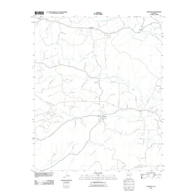
2011 Map of Lonsdale
USGS Topo · Published 2011About this map
Lonsdale serves as a central hub in this landscape, situated near the headwaters of Tenmile Creek and the Spring Lake Dam. The terrain is defined by a dense network of tributaries flowing into the Middle Fork Saline River and South Fork Saline River, reflecting a typical upland Arkansas drainage pattern where small settlements like Owensville and Crows established themselves along higher ground and creek valleys. Evidence of rural life is present at the Slate Branch Cemetery in the northwestern corner, while the scattered dwellings at Nance show the area's late-twentieth-century residential layout. Numerous local roads such as Owensville Cutoff and Smith Rd provide access to the timbered hills, illustrating how transportation routes have evolved to connect these small communities to the broader region.
Find a feature on this map
88 named features on this map. Tap any name to fly to it.
Don’t see what you’re looking for? This feature index may not catch every label — zoom into the map to look around manually.
Map Details
Editions of this 2011 Lonsdale Map
This is the sole edition of this map. No revisions or reprints were ever made.
Other maps of this area

1890 · Benton
USGS Topo · 1:125,000

1894 · Benton
USGS Topo · 1:125,000

1938 · Benton
USGS Topo · 1:48,000

1944 · Benton
USGS Topo · 1:62,500

1948 · Malvern
USGS Topo · 1:62,500

1949 · Malvern
USGS Topo · 1:62,500

1955 · Little Rock
USGS Topo · 1:250,000

1956 · Little Rock
USGS Topo · 1:250,000

1960 · Little Rock
USGS Topo · 1:250,000

1963 · Traskwood
USGS Topo · 1:24,000